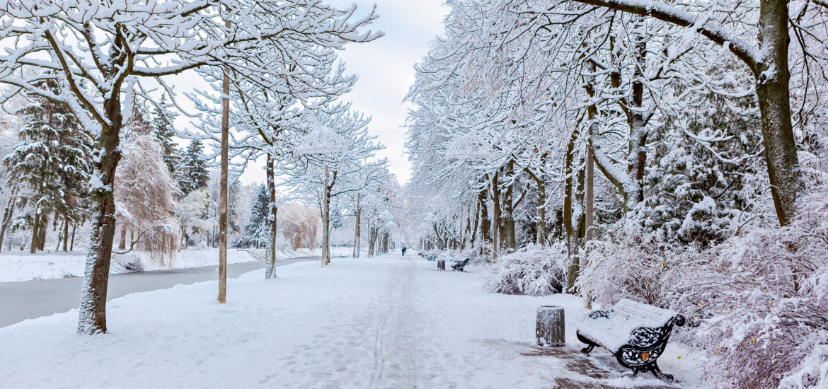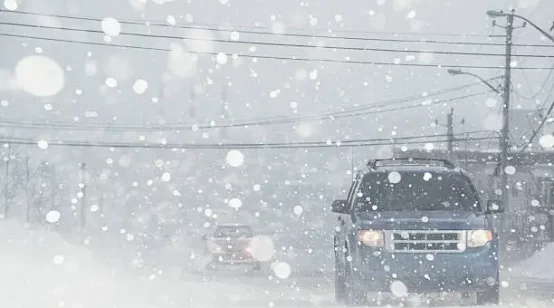
A wave of Arctic air and intense lake-effect snow is sweeping across the eastern United States, plunging temperatures to January-like lows and blanketing parts of the Great Lakes region with staggering snowfall. This frigid weather pattern, expected to persist into next week, has caused widespread disruptions and created hazardous conditions for millions of Americans.
Frigid Arctic Air Engulfs the Nation
A strong Arctic air mass has descended across the northern Plains, Midwest, and much of the eastern US, dropping temperatures 15 to 25 degrees below seasonal averages. This plunge marks the coldest stretch since last winter, according to the National Weather Service (NWS).
The temperature drop is especially noticeable in cities like Chicago, Indianapolis, Atlanta, Nashville, and even Tallahassee, where the weekend’s highs will feel more like mid-January. By Saturday morning, wind chills in the northern Plains and Upper Midwest were dangerously low, with some areas experiencing values as cold as -30°F to -40°F.
Nearly 70% of the US population, including areas as far south as Texas, is expected to experience temperatures below freezing. These frigid conditions heighten the risk of frostbite and hypothermia, particularly in regions with high wind speeds.
Historic Lake-Effect Snowfall
The Arctic blast is triggering one of the most significant lake-effect snow events of the season. Cold air sweeping over the record-warm waters of the Great Lakes has led to intense snow bands that are forecast to deposit multiple feet of snow in localized areas.
Western New York, particularly areas near Lake Ontario and Lake Erie, is among the hardest-hit regions. Forecasts predict up to 70 inches of snow—nearly 6 feet—in Watertown and surrounding communities by Monday. These conditions have prompted a state of emergency in Jefferson County and other areas.
Other Great Lakes regions, including northeastern Ohio and northwestern Pennsylvania, are also bracing for major impacts. Snowfall accumulations in these areas could measure in feet, with blustery conditions leading to drifting snow and whiteout scenarios.
Travel Chaos and Emergency Declarations
The relentless snowfall has caused significant travel disruptions, with sections of major highways like Interstate 90 closed in New York and Pennsylvania. In Erie, Pennsylvania, snowdrifts trapped motorists, requiring state police to rescue stranded drivers.
Forecasters have warned of “paralyzing” conditions in some areas, where travel could become nearly impossible. Near-whiteout visibility, slick roads, and massive snow accumulations are creating dangerous conditions, especially for post-holiday travelers returning home.
A Wintry Boost for Ski Enthusiasts
While many are struggling with the heavy snow, ski enthusiasts have reason to celebrate. Western New York’s ski resorts, including Holiday Valley in Ellicottville, are gearing up for their first major snowfall of the season. The resort expects to open next Thursday, benefiting from the heavy snow expected in the coming days.
Football in the Snow
Despite the wintry chaos, the Buffalo Bills are set to host the San Francisco 49ers at Highmark Stadium on Sunday. Game-time temperatures are expected to hover around 26°F, with an estimated 20 to 30 inches of snow already accumulated at the stadium. Fans have been called upon to help clear snow ahead of the game, ensuring it proceeds as planned.
Long-Term Forecast
This Arctic outbreak isn’t a brief event. Meteorologists predict the bitter cold will persist into the first week of December, keeping much of the country in a wintry grip. As temperatures remain below freezing for an extended period, communities must prepare for ongoing challenges, from travel disruptions to the risk of frostbite and hypothermia.
Residents are urged to monitor weather updates and exercise caution during travel, as this early winter blast sets the tone for the weeks ahead.


