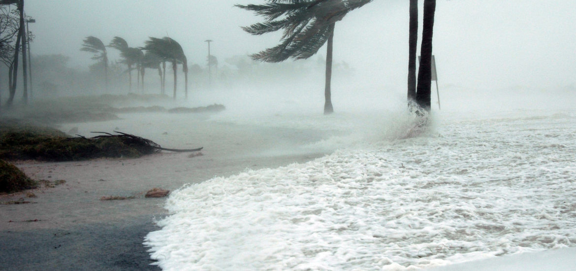
A powerful new storm is slamming the Northwest, worsening conditions in areas still reeling from a historic bomb cyclone. This fresh system is not only bringing strong winds but is also supercharging an atmospheric river that has already drenched parts of Northern California with record-breaking rainfall.
Power Outages and Winds Ravage Washington
Washington state continues to face widespread disruption, with more than 170,000 homes and businesses still without power as of Friday. The earlier bomb cyclone brought hurricane-force winds that toppled trees and power lines, leaving over half a million people in the dark. Tragically, two deaths were reported due to falling trees – a woman in Lynnwood and another individual struck while showering in her home in King County.
Puget Sound Energy has identified King County, home to Seattle and its suburbs, as one of the hardest-hit areas. Damage to smaller power lines and critical transmission systems has hampered restoration efforts. Gusts from the current storm, while less intense than the bomb cyclone’s, are still powerful, reaching 30 mph in the Seattle area and up to 60 mph along the coast. These winds, combined with waterlogged soil, are causing trees to topple more easily, increasing the risk of further power outages and property damage.
Torrential Rainfall Threatens Northern California
Northern California remains at the mercy of a relentless atmospheric river, which has funneled nearly 18 inches of rain into parts of the region since Tuesday. Flood risks are escalating, with an additional 5 to 10 inches of rain forecast through Saturday. Officials in Humboldt County have issued evacuation warnings as swollen rivers approach dangerous levels, threatening nearby homes.
In Sonoma County, flooding has forced road closures, stranding vehicles and disrupting daily life. In Santa Rosa, approximately 150 individuals were forced to shelter in place at a medical center and a hotel due to rising floodwaters. Local officials have urged residents to avoid unnecessary travel, as additional rainfall is expected to exacerbate flooding.
Landslides and Snow Compound Challenges
The storm has triggered several landslides across Northern California, including one on Highway 281 earlier this week that led to a vehicle crash. As the rain continues, the risk of landslides remains high, particularly in areas with steep terrain.
Meanwhile, the Sierra Nevada and Cascade Mountains are bracing for another wave of heavy snow. More than a foot of snow has already fallen in some regions, with an additional 1 to 4 feet expected by early next week. This has created hazardous travel conditions and heightened avalanche risks in mountainous areas.
Preparing for Continued Impact
The National Weather Service has issued warnings across the Northwest and Northern California, urging residents to remain vigilant. Emergency crews are working tirelessly to restore power, clear roads, and assist those affected by flooding and landslides. However, the relentless nature of these storms is straining resources and complicating recovery efforts.
The Northwest and Northern California are enduring an extraordinary weather event, marked by devastating winds, torrential rains, and heavy snow. With more challenges on the horizon, residents are urged to stay informed and prepared as this storm system continues its destructive path.


